
Anchorages and Marinas
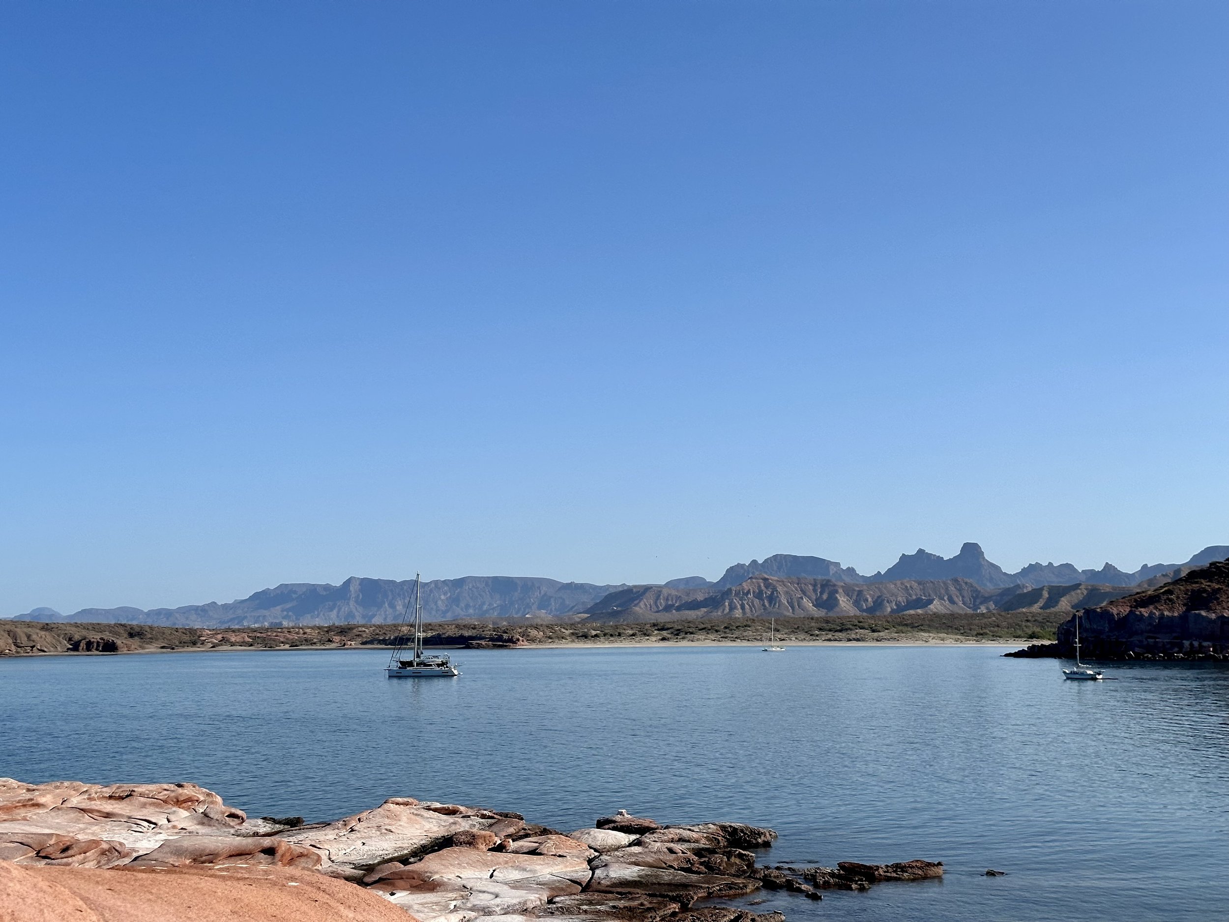
Over the past year we hae stayed at many different places. Every night not on passage we are securely anchored or tied up to a dock. In the Excel workbook below, you will find each anchorage or marina we stayed at, sorted by our first stay at it. The latitude and longitude represent the actual spot we stayed and can be useful as an indicator of places you can anchor or dock spots with sufficient depth for our 7’ draft. These locations should not be used blindly and prudent navigation is still required as local conditions may have changed or wind, waves, and swell may make an anchorage untenable. The Bing Maps link opens up in satellite view as it has the best quality photography for Mexico. It doesn’t place a pin in the location until you click on the name in the left panel. The Google Maps link drops a pin right on the spot. For marina’s we have listed the URL we used to find out information about making reservations or contacting the office.
We have also uploaded all of these into Bing Maps here.
